%20--%3e%3cdefs%3e%3cstyle%3e%20.st0%20{%20fill:%20%23061b40;%20}%20.st1%20{%20fill:%20%23306af1;%20}%20.st2%20{%20fill:%20%235ce5cf;%20}%20%3c/style%3e%3c/defs%3e%3cg%3e%3cpath%20class='st0'%20d='M55,10.5h9v3h-9v9h12V7.5h-12v3ZM64,19.5h-6v-3h6v3Z'/%3e%3cpolygon%20class='st0'%20points='69%2016.5%2078%2016.5%2078%2019.5%2069%2019.5%2069%2022.5%2081%2022.5%2081%2013.5%2072%2013.5%2072%2010.5%2081%2010.5%2081%207.5%2069%207.5%2069%2016.5'/%3e%3cpolygon%20class='st0'%20points='95%2010.5%2095%207.5%2083%207.5%2083%2022.5%2095%2022.5%2095%2019.5%2086%2019.5%2086%2016.5%2095%2016.5%2095%2013.5%2086%2013.5%2086%2010.5%2095%2010.5'/%3e%3cpath%20class='st0'%20d='M40,1.5v21h11.6l1.4-1.4v-7.6h0c0,0-1.4-1.5-1.4-1.5l1.4-1.4V2.9l-1.4-1.4h-11.6ZM50,19.5h-7v-6h7v6ZM50,10.5h-7v-6h7v6Z'/%3e%3c/g%3e%3cpath%20class='st1'%20d='M23.1,24L14.7,4.8l-4.9,11.2h3.8l-1.8,4H3.3L12.1,0H2C.9,0,0,.9,0,2v20c0,1.1.9,2,2,2h21.1Z'/%3e%3cpath%20class='st2'%20d='M34,0h-16.8l10.6,24h6.2c1.1,0,2-.9,2-2V2C36,.9,35.1,0,34,0ZM32.5,20h-4V4h4v16Z'/%3e%3c/svg%3e)

Geospatial Analysis For Agriculture
Overview :
Cybertiks leverages remote sensing technology and agricultural expertise to harness the power of satellite data and artificial intelligence for precise agricultural analysis. This empowers transformative advancements in carbon agriculture and sustainable farming practices. We offer customized solutions for monitoring crop growth, water quality, and soil analysis, providing the agriculture industry with more accurate data insights. Visit our website for pricing and further information.
Target Users :
Tailored for the agriculture sector, enabling precise crop monitoring and farmland analysis.
Features
Utilizing remote sensing technology for agricultural analysis
Monitoring crop growth and water quality
Providing soil analysis data support


Featured AI Tools
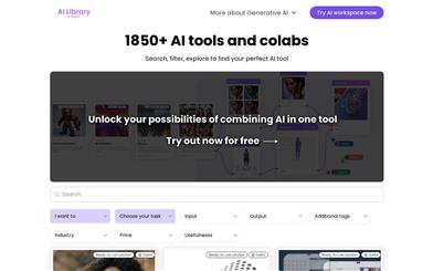
AI Library
AI Library is the largest and most comprehensive directory of AI tools, featuring 1800+ neural networks and tools for creators and game developers. It offers semantic search and filtering functionality. Its functions include text generation, image processing, video editing, and design assistance. Pricing varies depending on the specific products, catering to diverse user needs.
AI Information Platform
179.7K
Chinese Picks
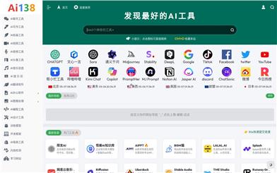
AI Tools Network
The AI Tools Navigator is a platform for AI professionals and users interested in artificial intelligence, providing AI tools and resources. It assembles a variety of AI tools, including AI chat, natural language processing, painting and graphics processing, machine learning, and video and audio production, aiming to help users improve work efficiency and creativity.
AI Information Platform
169.2K