%20--%3e%3cdefs%3e%3cstyle%3e%20.st0%20{%20fill:%20%23061b40;%20}%20.st1%20{%20fill:%20%23306af1;%20}%20.st2%20{%20fill:%20%235ce5cf;%20}%20%3c/style%3e%3c/defs%3e%3cg%3e%3cpath%20class='st0'%20d='M55,10.5h9v3h-9v9h12V7.5h-12v3ZM64,19.5h-6v-3h6v3Z'/%3e%3cpolygon%20class='st0'%20points='69%2016.5%2078%2016.5%2078%2019.5%2069%2019.5%2069%2022.5%2081%2022.5%2081%2013.5%2072%2013.5%2072%2010.5%2081%2010.5%2081%207.5%2069%207.5%2069%2016.5'/%3e%3cpolygon%20class='st0'%20points='95%2010.5%2095%207.5%2083%207.5%2083%2022.5%2095%2022.5%2095%2019.5%2086%2019.5%2086%2016.5%2095%2016.5%2095%2013.5%2086%2013.5%2086%2010.5%2095%2010.5'/%3e%3cpath%20class='st0'%20d='M40,1.5v21h11.6l1.4-1.4v-7.6h0c0,0-1.4-1.5-1.4-1.5l1.4-1.4V2.9l-1.4-1.4h-11.6ZM50,19.5h-7v-6h7v6ZM50,10.5h-7v-6h7v6Z'/%3e%3c/g%3e%3cpath%20class='st1'%20d='M23.1,24L14.7,4.8l-4.9,11.2h3.8l-1.8,4H3.3L12.1,0H2C.9,0,0,.9,0,2v20c0,1.1.9,2,2,2h21.1Z'/%3e%3cpath%20class='st2'%20d='M34,0h-16.8l10.6,24h6.2c1.1,0,2-.9,2-2V2C36,.9,35.1,0,34,0ZM32.5,20h-4V4h4v16Z'/%3e%3c/svg%3e)

Godview
Overview :
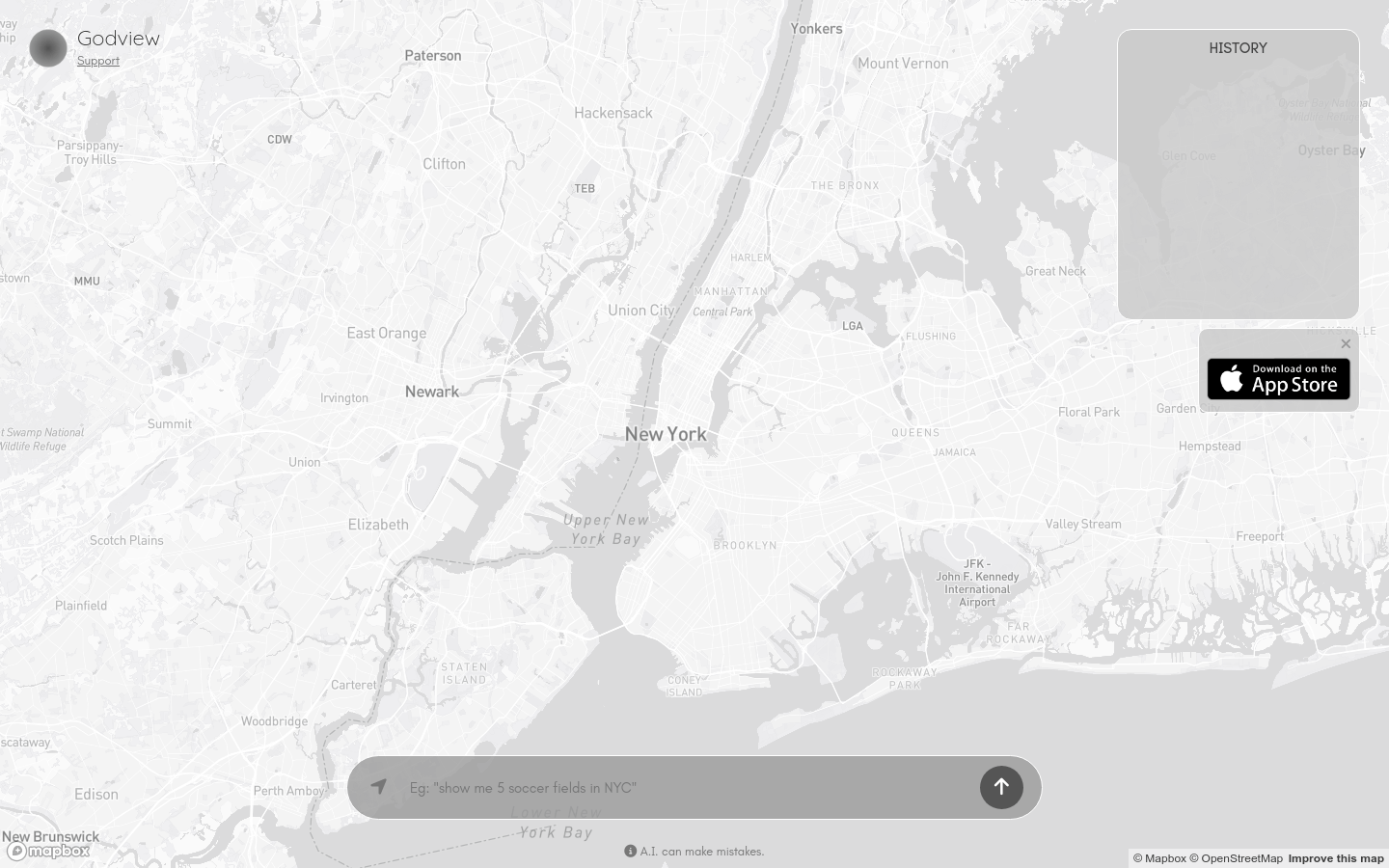
Godview is a map service and data visualization platform that leverages advanced mapping technology to present and analyze geographic information data. By integrating data from Mapbox and OpenStreetMap, it provides users with accurate map services and supports user feedback for map enhancements. Key advantages of Godview include high-precision map data, an intuitive user interface, and robust data visualization capabilities. The platform is designed for users who need geographic information presentation and analysis. Currently, Godview offers a free trial; specific pricing information requires further inquiry.
Target Users :
Target audience includes urban planners, geographic information system (GIS) experts, data analysts, and other professionals in need of map services and data visualization. Godview offers high-precision maps and powerful data visualization features to assist them in conducting geographic information analysis and decision support more effectively.
Use Cases
Urban planners use Godview for urban geographic information analysis and planning.
Logistics companies utilize Godview for route optimization and distribution area division.
Environmental monitoring agencies use Godview for collecting geographic data and assessing environmental impacts.
Features
Map Display: Provides high-precision map data display and supports various map styles.
Data Visualization: Presents geographic information data graphically to enhance readability and engagement.
Map Editing: Users can edit maps and provide feedback to improve accuracy.
Multi-Platform Support: Accessible via web, allowing convenient use across different devices.
Real-Time Updates: Map data is updated live to ensure timely information.
User Feedback: Offers a feedback mechanism for users to directly participate in map improvements.
How to Use
1. Visit the Godview official website: https://godview.ai/.
%20--%3e%3cdefs%3e%3cstyle%3e%20.st0%20{%20fill:%20%230080ff;%20}%20%3c/style%3e%3c/defs%3e%3cpath%20class='st0'%20d='M16.2,11.1c.4.5.4,1.2,0,1.8l-4.7,7.1h-3.8l5.3-8L7.6,4h3.8l4.7,7.1Z'/%3e%3c/svg%3e)
2. Register and log in to start a free trial.
3. Choose the map display feature to view map data from different regions.
4. Utilize the data visualization tools to present geographic information graphically.
5. If needed, edit the map and provide feedback to improve its accuracy.
6. Leverage real-time updates to ensure the map data is current.
7. Submit user feedback when necessary to participate in the map improvement process.

Featured AI Tools
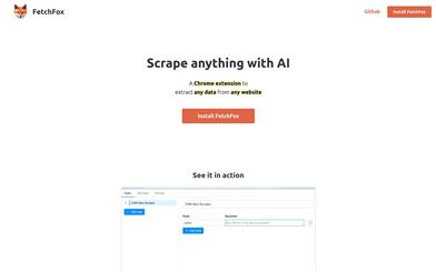
Fetchfox
FetchFox is an AI-driven web scraping tool. It leverages AI to extract the data you need from raw web pages. Running as a Chrome extension, users can simply describe the desired data in English. With FetchFox, you can quickly collect data such as building lead lists, gathering research data, or surveying market segments. By using AI to scrape from raw text, FetchFox can bypass anti-scraping measures on websites like LinkedIn and Facebook. It can easily parse even the most complex HTML structures.
Data Analysis
413.2K
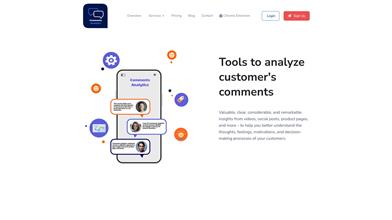
Comments Analytics
Comments Analyzer is a tool that helps users extract and analyze page comments. It utilizes artificial intelligence technology to extract and quantify emotional information from comments, providing functionalities such as sentiment analysis, entity recognition, and keyword extraction. By analyzing comments, users can understand customer thoughts, feelings, and decision-making processes, ultimately leading to improved customer experience and product or service optimization.
Data Analysis
316.6K